
In this day and age, it’s a terrible idea to be in the prediction game. However, that’s exactly what weather forecasters have always been doing and we all know how accurate those guys are.
Still, with reports that another La Niña weather event, bringing heavy rainfall across much of the east coast, is going to coincide with a negative Indian Ocean dipole, bringing heavy rainfall across much of the west coast, it’s probably worth taking a look at what the future might hold.
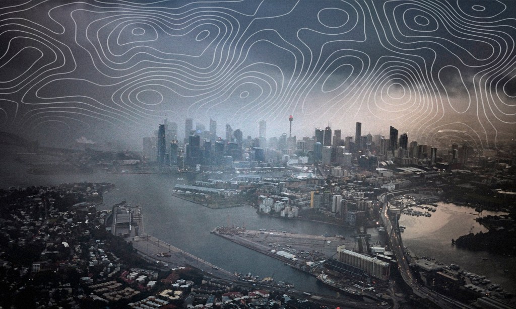
We know that the rest of 2022 is going to be soggy for some, but just how soggy is it going to get? With summer apparently fast approaching, here’s how ambitious you should be about your future plans.
Will La Niña Ruin Your Christmas?
If you’re thirsty for an official Christmas forecast, you’re out of luck. This is because the first one will be taking place on December 18.
However, Bureau of Meteorology’s (BOM) Jonathan Howe said that the La Niña will likely bring some cooler temperatures to southern Victoria, South Australia, and Queensland, and most of NSW.
“Tasmania’s looking warmer than average in December, so that includes Hobart. Perth is 50/50, so looking quite average [for a] daytime temperature, and Darwin’s looking warmer than usual,” said Howe.
Rainfall-wise, Victoria, NSW, Queensland, and Tassie will likely be wetter than normal. Which considering the year that these states have suffered through is more crushing than a shocker.
“Adelaide, Perth are looking close to 50/50 in terms of average rainfall, and so is Darwin,” said Howe.
Only the northern and central parts of Western Australia are expected to have a drier-than-average Christmas.
The Weather This Summer
After years of flooding, following a summer of devastating fires, Aussies are absolutely ready for a break and are desperate to get back to ‘normal’ — whatever that means.
Unfortunately, the BOM has piped up to crush our dreams once again with their long-range forecast for 2022-2023. Yep, even past Chrissie some parts of Australia could be in for a rough-as-guts time.
The forecast tries to predict the kind of weather patterns we’re going to see between now and April of next year and it’s not looking great. In Australia, this period is the “peak time” for extreme weather events, including floods, cyclones, heatwaves, bushfires, and severe thunderstorms.
The report notes that Australia can expect “an increased risk of widespread flooding” in eastern and northern parts of the country, an increased chance of tropical cyclones, and a “normal” risk of severe thunderstorms.
In addition, they note that bushfires, grassfires, and heatwaves are expected in other parts of the country while the south, in particular, will be very humid.
To break that down a little bit more, the BOM’s recently released climate outlook overview states that, in the coming weeks, it’s “at least moderately likely” that eastern Australia, the north, and the inland Northern Territory, will see “above median rainfall”. Most of Western Australia however will see below median rainfall during the same period.
From November through to January, rainfall is likely to be “above median” in eastern Australia, while temperatures are expected to be hotter than median in Tasmania, Western Australia, and the northern tropical coast. Southern Queensland and New South Wales are however expected to be colder during this time.
The BOM is predicting a “greater than 73% chance” of at least 11 tropical cyclones between now and April, which is roughly the average for this time of year. The cyclone season is expected to start earlier this year, they predict.
In terms of fires, it’s expected that NSW, VIC, and QLD can relax this season, while central NT and northern WA will need to keep an eye out.
“We may not have extreme heat days compared to some recent years”, they state, although tempering this with the warning that heatwaves may last longer, be warmer overnight, and be more humid, especially in the south.
What Is Causing All This Rain?
Well, people who make fossil fuels, and the governments they donate to, love money too much and now we’re all facing a washout. In three words: it’s climate change.
While the BOM are cautious about attributing any one climate event to excess carbon dioxide pumped into the atmosphere, they have said that climate change is causing more extreme weather events on average. This is how we can get the seeming paradox of high humidity and lots of rain but also heatwaves and bushfires.
The La Niña event, which is carrying on for the third year in a row, is bringing cold water across the pacific to mingle with the warmer waters around Australia, creating unwanted and moist offspring that we all have to deal with in the east.
The negative Indian Ocean Dipole is doing similar on the other side of the country, bringing unusually cold water from Africa and India to play with warmer water off the west coast of Australia and Indonesia, also resulting in lots of rain.
Just to cover all the bases, Australia is also seeing a positive phase of something known as the ‘Southern Annual Mode’ or SAM. This is where strong westerly winds blow south across Australia towards Antarctica, dragging storms from the north down through the south during summer. Thankfully, this typically only lasts for a few weeks, but everywhere from central Queensland to Tasmania is in the firing line as this event plays out in the short term.
So, if you’re planning a hot non-gender-conforming summer, maybe think carefully about packing an umbrella or doing something inside.
Related: Rainwater Is No Longer Safe to Drink and We Need to Start Talking About Whose Fault It Is
Related: Great: A New Climatic Mess Called the Indian Ocean Dipole Is Coming to Rain on Our Plans
Read more stories from The Latch and subscribe to our email newsletter.