
Better start growing some gills, the unending wet vengeance from above is set to continue for a third consecutive year, as the Australian Bureau of Meteorology has officially declared that La Niña will last through to 2023.
“Key atmospheric and oceanic indicators of the El Niño–Southern Oscillation (ENSO) show an established La Niña,” the BOM has said.
“Tropical Pacific sea surface temperatures have been cooling since June and are now at La Niña thresholds. Atmospheric indicators including the Southern Oscillation Index (SOI), trade wind strength, and equatorial cloudiness are also displaying patterns typical of a La Niña event.
There has not been a triple-dip La Nina event in over 70 years. The BOM has previously indicated that the conditions for the event are undoubtedly being made worse by the breakdown of the climate.
In order to have a La Niña, sea surface temperatures across the equator to South America have to be cooler, while winds that carry them through the sea have to be high. When that cold water meets warm water around Papua New Guinea and northern Australia, you get increased rainfall. This is what the early signs are now showing for the rest of the year.
The BOM has said that their models are indicating this La Niña event “may” peak during spring and that normal conditions could return early next year. We’re being told to expect above-average rainfall for northern and eastern Australia throughout spring and summer.
In trying to predict another La Nina event, the United Nations weather agency, the WMO, said last month that it was “likely” the wet weather pattern will continue for the remainder of the year and into next year, becoming “this century’s first triple-dip La Nina.”
WMO Secretary-General, Professor Petteri Taalas has said that it’s “exceptional to have three consecutive years with a la Niña event.”
“Its cooling influence is temporarily slowing the rise in global temperatures — but it will not halt or reverse the long-term warming trend.”
The WMO has said that all “naturally occurring climate events now take place in the context of human-induced climate change.”
Because of rising global temperatures, water in the western Pacific is warmer than normal, leading to above-average evaporation, cloud cover, and rainfall as the currents meet.
The Bureau’s three-month climate prediction indicates a “high chance” of above-average rainfall for most of eastern Australia through to November of this year. With the country already soaked from heavy rain through winter, the BOM is warning of “elevated flood risk” for eastern Australia.
Related: What Is a Triple-Dip La Niña? And Why Might It Leave You Soaked?
Negative Indian Ocean Dipole
On the other side of the country, there’s also something called the Indian Ocean Dipole. This has been described as the Indian Ocean version of the El Niño/La Niña cycle. The IOD swings between positive, neutral, and negative states, with the former being associated with drought in the west of Australia.
Sky News meteorologist Tom Saunders sounded the alarm that the IOD is entering a negative phase last month, seeing warmer water in the east, along Australia’s west coast, and cooler water in the west towards Africa. This means, as you might have guessed, a clash of ocean temperatures and a tonne of rainfall across the north and west of Australia.
“Latest Indian Ocean Dipole value is the lowest since September 2016. We can probably call it now, 2022 will be a -IOD year,” Saunders tweeted. “The value needs to remain below -0.4 for 8 weeks to make it official. Why does this matter? The rain is here to stay.”
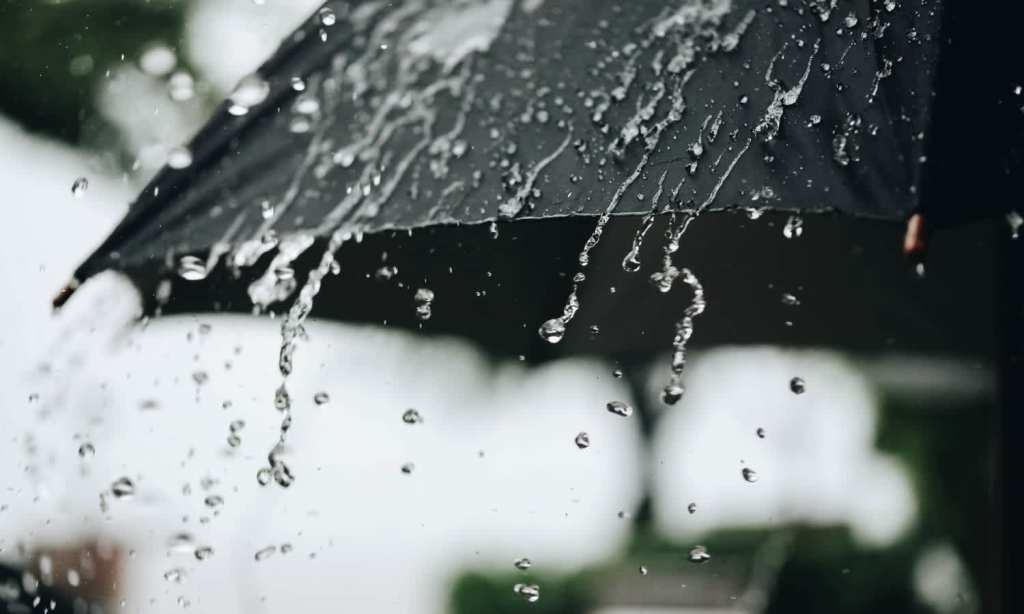
So it looks like, wherever you are in the country, you’ll probably need to carry an umbrella for the foreseeable. And a snorkel.
Read more stories from The Latch and subscribe to our email newsletter.