
The Bureau of Meteorology has confirmed that a La Niña weather pattern will once again be hitting our shores and it could last until early next year.
This means above-average rainfall for much of the east coast, with an increased risk of flooding. The wet weather is expected to bring misery and damage to our agricultural industry, homes, and livelihoods.
Unfortunately, we’re pretty accustomed to wet weather by now as our previous two summers have also been La Niña years. This brought widespread and horrifying flooding across northern NSW and southern Queensland. Earlier this year, the Byronshire area was hit twice by floods of biblical proportions with the town of Lismore taking the brunt of the damage.
The BOM has said that climate change is a major factor in changing weather patterns and that we should expect rainfall like this to become more common as the planet heats up.
“Australia’s climate has warmed by around 1.47 °C for the 1910–2020 period,” they say.
“Southern Australia has seen a reduction of 10–20% in cool season (April–October) rainfall in recent decades. There has also been a trend towards a greater proportion of rainfall from high-intensity short duration rainfall events, especially across northern Australia”.
While increased rainfall is something we desperately need in a country that has been in perpetual drought for years, there is such a thing as too much of it. Most of the rainfall we’ve seen over the past few years has not landed in the areas we need it too and when it has, it’s frequently been too much, washing away or drowning crops.
While it’s not hugely uncommon for a La Nina weather pattern to hang around for a couple of years, this will be the first ‘triple-dip’ La Nina event this century. Here’s everything you need to know about this meteorological phenomenon.
What Is La Nina?
A #LaNiña event is underway in the Pacific Ocean. The Bureau's 3-month climate outlook shows a high chance of above-average rainfall for the eastern half of Australia. La Niña is not the only driver influencing this wet outlook. Learn more – https://t.co/Sxi7noGXVN pic.twitter.com/JJ7aYtxEEm
— Bureau of Meteorology, Australia (@BOM_au) September 13, 2022
La Niña — or ‘The Little Girl’, in Spanish — is the cold weather counterpart to the warmer weather system El Niño or ‘The Little Boy’. El Niño is named in reference to the baby Jesus, since the weather conditions caused by the changes normally take effect around Christmas time.
These two patterns of warming and cooling weather across the Southern Hemisphere make up what is known as the El Niño Southern Oscillation. This oscillation affects the Pacific Ocean and the countries that border it and is responsible for hurricanes in the Caribbean and cyclones in Australia.
It’s caused by cool water flowing up from Antarctica along the South American coastline where water is around 10°C colder than the Eastern Pacific. In normal years, this water flows deep under the surface of the ocean without causing any major abnormalities.
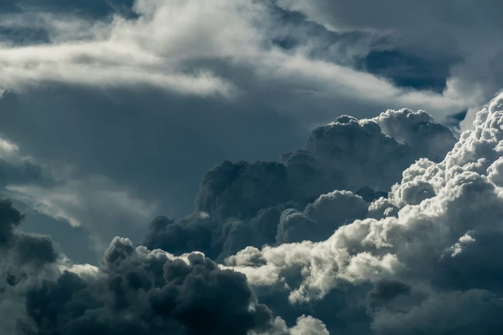
During La Niña events, strong winds push ocean water east, drawing more cold water from Antarctica and cooling the Pacific water temperature, resulting in more cloud cover as the cold water is heated and evaporates. In El Niño events, the cold water cycle is affected and the water in the Pacific Ocean becomes hotter, resulting in less cloud coverage and less rainfall as a result.
The cycles happen irregularly and can last anywhere from five months to several years. The previous La Niña event stretched from 2010 to 2012 and resulted in one of Australia’s wettest two-year periods.
How Will La Nina Affect Australia?
La Niña thresholds have once again been met but the pattern barely waned during the middle of the year. pic.twitter.com/Zb3IizDbWr
— Andrew Miskelly (@andrewmiskelly) September 13, 2022
Weather models predicting a La Nina seem to show that it will ease up early next year, meaning this time around could be less intense than in previous years.
That doesn’t mean that we’ll get off lightly, however. La Nina is correlated with more cyclones, more flooding, and wild weather proceeding throughout the summer. It will also affect the tides, which have been higher in recent years due to overall global sea-level rise, making them stronger and bigger overall.
Australia has seen 20 La Nina events since 1900 and 12 of those have caused flooding in the eastern states. Average rainfall during La Nina years is roughly 20% higher than average. We’re also entering storm season now, with authorities concerned for coastal regions across southern Queensland, eastern NSW, parts of eastern Tasmania and Victoria. A good 85% of us live within 50KMs of the sea but it will be those right on the water who are going to face the brunt of the coming storms.
Because we’ve been through two rounds of heavy rainfall, the ground in much of the areas expected to be hit is already saturated. This gives much less room for water to be absorbed and increases the chances of flooding again.
Dr Margaret Cook, environmental historian and lecturer at the University of the Sunshine Coast and researcher at Griffith University, has told the Sydney Morning Herald that “The problem with a triple La Niña is that the ground is very wet already, our rivers are quite high, our creeks are full and our dams are quite full.”
Usually, flooding in La Nina events comes in Autumn, once the ground has already been hit by a few rounds of heavy rain over the previous few months. With the ground already full, we could see flooding sooner. However, with the La Nina pattern expected to weaken early next year, we may also avoid the worst of it.
Given that there have only been two or three triple-dip La Ninas before, depending on how you count, we don’t have a lot of historical data to go off. Sometimes, the third round is the weakest, but the 1973 – 1976 event saw the strongest rainfall during the final year.
La Nina in NSW
The NSW State Emergency Service has warned residents to prepare for the risk of flooding following the BOM’s announcement.
“If you live in a flood-prone area, I urge you to take steps to prepare now. Make sure you know your risk, have an up-to-date emergency plan and emergency kit. Preparing early will save you vital time during an emergency,” said NSW SES Commissioner Carlene York.
An agency spokesperson told the Sydney Morning Herald that they are particularly concerned about the Hawkesbury Nepean and Georges River, Northern Rivers, Mid North Coast, Central Coast and Shoalhaven catchment.
This year, Sydney has already recorded its wettest year on record, with two metres of rain falling across the region since January. The city’s average is just 1.2 metres.
La Nina in QLD
In Brisbane, Lord Mayor Adrian Schrinner announced yesterday that sandbags would be made available to residents a month earlier than usual in response to the news of a third La Nina event.
Council workers have already filled 150,000 sandbags, three times the usual amount. These will be made available for collection from depots in Zillmere, Newmarket, Morningside and Darra in the coming weeks.
Major concerns are for the low-lying suburbs of Karana Downs, Archerfield, Sherwood, Toowong, Yeronga, Yeerongpilly, Chandler, Bracken Ridge and West End.
This year, the devastating floods seen in the southeast of the state were thought to be caused by La Nina-driven excess rainfall and authorities are warning of similar events over the next few months.
Related: Why Talking About the Weather Is Actually Super Highbrow
Related: Just What the Hell Is Going on With This Wild Weather?