
If you’ve felt like heading down to Bunnings for some ark-building supplies and gathering two of whatever street animals are lurking around your neighbourhood, you’re not alone.
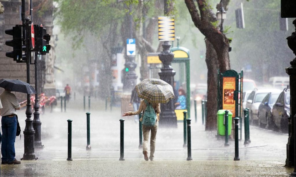
With rain, high winds, and flooding hitting much of the east coast from South East Queensland down to the Illawarra, we’re seeing rainfall like we never have before. Over the past few months, dozens of people have been killed, with thousands displaced as homes and businesses have been demolished. That’s not even to mention the biblical flooding experienced in the Northern Rivers region.
The Bureau of Meteorology has confirmed that Sydney has seen the wettest rainfall on record, with 1,213mm falling from the start of the year until mid-March, smashing a 782.8mm record that was set in 1956. In fact, that’s more rain in three and a half months than the region typically gets in an entire year.
The wet weather has been put down to the La Niña event, which has been exacerbated by the warming climate and our deteriorating environmental systems. While La Niña has been going on for over a year now, meteorologists are now saying that it could continue for months.
What’s Causing All This Rain?
The rain we’ve been seeing over the east coast has been caused by the La Niña weather pattern, which sees cold water drawn up from the Antarctic along the coast of South America pushed west by stronger-than-usual winds across the Pacific Ocean.
As the cold water meets the warmer waters around northern Australia, it evaporates, being held in heavier than average clouds above the country.
While La Niña alone is a normal climate pattern, climate change is exacerbating it. Scientists have told us that for each degree of warming above pre-industrial levels, the Earth’s atmosphere can hold 7% more water. According to the IPCC, Australia has already warmed by an average of 1.4 degrees, which is likely contributing to the downfalls we’ve been experiencing.
At the same time that our atmosphere is loaded up with moisture from La Niña and climate change, Australia has been experiencing a series of “blocking high-pressure systems”. These are effectively pools of stalled high-pressure that stops weather patterns from moving on from a location.
As we’ve seen this occur frequently over the Tasman sea, La Niña-soaked air drifting down from the north has become trapped over the east coast of the country. This is what caused the “rain bomb” in March.
Blocking high-pressure bubbles have been associated with drought, fires, and heatwaves — like the one seen recently in Western Australia — and are also thought to be part of the more extreme weather conditions brought about by climate change.
How Long Will the Rain Last?
La Niña tends to cycle on and off every few years, but the current system has been hanging around for a while. This is why our last two summers have been so wet.
Although weather systems of high and low pressure have been fluctuating, bringing the rain on and off, the rain is predicted to continue in this pattern for months. Some estimations are even suggesting we could see this type of wet weather continue until August.
In further depressing news, US forecasts are suggesting that La Niña is “struggling to break,” which could mean a third year of rain.
Australia’s Bureau of Meteorology has previously said that La Niña is past its peak and conditions should start slowly transitioning back to normal over the next few months.
They had initially expected La Niña to end in autumn, but are now saying that the “retreat has stalled” and we can expect it to continue for at least another few weeks.
Weatherzone, in the US, has a gloomier outlook. They say that “La Niña has a 59% chance of continuing through the Southern Hemisphere’s winter and a 50-55% chance of persisting thorough the Southern Hemisphere’s spring.”
This is according to sea temperature and air pressure measurements between Tahiti and Darwin, which they say indicate that La Niña is still unusually strong for this time of year.
Even if the weather pattern was to end in the next few weeks, the flow-on effects of La Niña can take months to settle the climate. This is why the wet weather is predicted throughout most of the winter. Let’s hope it’s not going to continue until next year too.
Although the BOM has stressed that it’s difficult to pin any one weather event on climate change, our current failure to adequately address climate change makes Australia much more likely to continue to see extreme weather patterns in the future.
Read more stories from The Latch and subscribe to our email newsletter.