
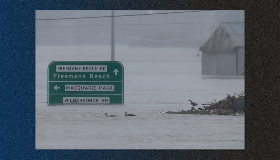
Hey, are you sick of the unrelenting barrage of crippling weather that’s been smashing NSW? Yeah, me too. Even the NSW Premier Dominic Perrottet seems pretty worn down by what’s been happening.
In a press conference on July 4, he started it by saying, “It’s obviously been a very difficult time for many months. To have this flood event off the back of others, it makes it more challenging.” But for the safety of ourselves and our loved ones, it’s important that we keep up-to-date on this subject.
So here’s all the latest info:
The Numbers Aren’t Pretty
During the aforementioned press conference, the Bureau of Meteorology’s Jane Golding said, “In the last 24 hours, some locations have received upwards of 100ml. And those areas are really stretching from Maitland in Newcastle down towards Brogers Creek in the Illawarra. Some locations have received upwards of 150ml.” They also noted, “We are still seeing a steady stream of showers tracking into the Central NSW Coast. At the moment, the focus area is very much along the Illawarra, through Sydney, into the Blue Mountains and the Central Coast area.”
These weren’t the only areas of concern discussed in this press conference. The Hunter region was also mentioned, while some specific focus was given to South-West Sydney and North-West Sydney.
“We currently, across NSW, have 64 evacuation warnings in place and 71 evacuation orders.” outlined Perrottet. “That is impacting 32,000 people across NSW.” If you want to know which places currently have evacuation warnings and evacuation orders, then go to the SES website.
Related: Lismore Flood Victims Are On the Frontline of Climate Change
Related: How to Help Flood Victims NSW: Where to Donate So the Money Gets to Them
But When Will the Rain End?
So, there’s some good news and some bad news. The good news is that Golding revealed, “The system that’s been generating this weather does show signs that it’ll ease tomorrow.” She additionally explained, “The rain rate should start to decrease through the Sydney-Illawarra area later today or overnight. And probably on the Central Coast, Hunter by Wednesday.”
However, the bad news is that we’re not out of the storm yet. “We are expecting continued rain along NSW, or continued shower activity along the NSW coast, for the remainder of the week,” said Golding. “And that just means that the catchments, they’re not drying out.” If the catchments don’t get a chance to dry out, then chances of floods happening increases.
Moreover, the Bureau of Meteorology stated on June 30, “July to September rainfall is likely to be above median for the northern half of Australia, northern and eastern SA, NSW, northern and central Victoria, and eastern Tasmania.” We’ll keep you posted if this situation changes, and hopefully, it’ll change for the better.
Read more stories from The Latch and subscribe to our email newsletter.