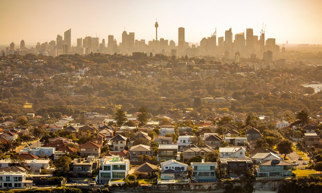
Much of Australia has been plunged into the fire as an intense heatwave hammers the country. Weather warnings were issued on Wednesday and are likely to remain in place over the coming days.
The Bureau of Meteorology (BoM) has issued multiple statements saying that “hot and dry” conditions should be expected through much of the country for the remainder of the week.
“Hot conditions developing across southern and eastern Australia will build over the coming days, triggering low to severe intensity heatwave conditions,” it wrote.
“A heatwave occurs when the maximum and the minimum temperatures are unusually hot over a three-day period at a location”.
South and South-Eastern Australia will see maximum temperatures hit 6-12C above average, for this time of year, through the remainder of the week.
“Daytime temperatures are likely to be high 30s and low 40s, with overnight temperatures not dropping below the high teens,” the BoM stated.
Low to Severe intensity heatwave conditions continue over inland WA. A Heatwave Warning is current. Heatwave conditions will be moving into parts of SE Aus from Thurs.
Latest: https://t.co/vOm4XFkh6r pic.twitter.com/qdWT0mM64h
— Bureau of Meteorology, Australia (@BOM_au) February 15, 2023
Thankfully, “Conditions are forecast to ease on Tuesday with cooler temperatures,” the BoM writes, however, this is then expected to be followed by “possible severe thunderstorms with large hail, damaging winds, and heavy rainfall.” These storms include the chance of ‘dry thunderstorms’, increasing the chance of fires. Joy.
Temperatures are expected to hit 38C in Melbourne on Friday, 28C in Adelaide, 31C in Brisbane, 28C in Perth, and 30C in Sydney. Hobart could see a maximum of 32C while both Canberra and Darwin could hit 33C.
Those temperatures are then expected to hang around until at least Sunday, with north-western WA expected to hit 50C at some point over the coming days. This is getting close to the record hottest February temperature ever recorded, set in 1992, of 50.5.
In addition to the heatwave warnings, the rising mercury is expected to trigger extreme fire warnings through SA, NSW, and the NT, with the BoM warning late last year that an end of La Nina conditions could see a rapid return of El Nino conditions and an elevated bushfire risk.
Already, there are “numerous” fires ongoing throughout eastern Australia, and in Queensland’s Western Downs in particular. Make sure to keep up to date with fires if you’re in an at-risk area by using your local fire information services.
⚠️With hot temperatures and heatwave conditions impacting large parts of Australia, see more info about heatwaves in this video. Latest warnings: https://t.co/IK4YNrewik or the BOM weather app. pic.twitter.com/wG9fMz5XuL
— Bureau of Meteorology, Australia (@BOM_au) February 16, 2023
BoM Senior Meteorologist Christine Johnson has said that higher-than-average temperatures are already kicking in for much of the country considering the time of year.
“Hot air will continue to move over Victoria and south-west NSW on Friday before a cool change reaches Melbourne in mid-afternoon,” she said.
“For most of the state, the trough will come in late enough that it’ll still get well and truly into the 30s on Friday, if not low 40s into the north.
“With this heat combined with strong winds around these troughs coming through, it could be fire weather.”
That means a few sticky and stressful nights ahead, especially for those in at-risk bushfire zones. Monash City in Victoria has issued a statement reminding people to drink more water, never leave kids, adults, or pets in cars, and to plan ahead to prepare for the heat.
“Groups particularly vulnerable to the effects of hot weather include the elderly, young children, pregnant women, persons with a disability, and people with other medical issues,” the city council has said.
“If you know anyone who falls into one of these categories, check on them during the hot weather to see if you can help”.
Related: What Are the Odds? Will Australia Be Hit With El Niño Weather This Year?
Related: Do You Have ‘Weather Fatigue’? You’re Not the Only One, But It Can Be Conquered
Read more stories from The Latch and subscribe to our email newsletter.


